Filters
Marshall Islands

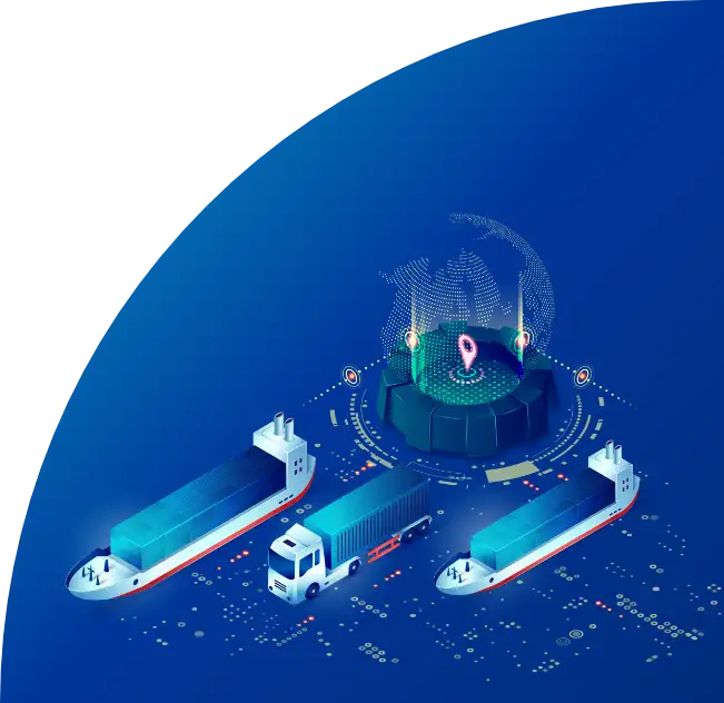
Explore how container volumes, limited port infrastructure, and regional transshipment demands are affecting operations at Marshallese ports such as Majuro and Kwajalein. Use GoComet’s port congestion tool to monitor live vessel activity, berthing delays, and cargo flow to ensure efficient planning for your shipments to and from the Marshall Islands.
Port Delay by Country


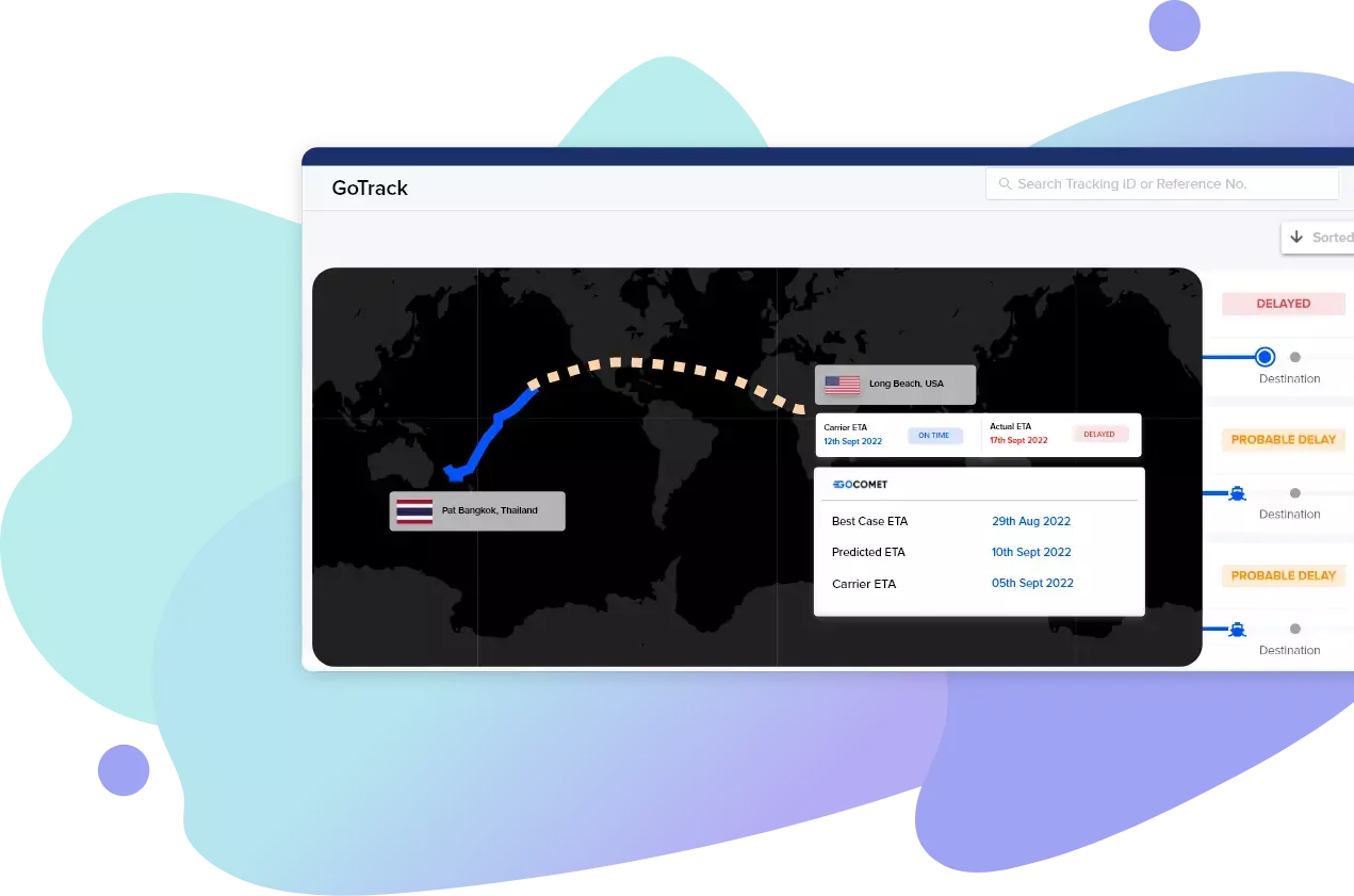
Need weekly report on port congestion for your desired ports?
shipments do not arrive on-time at Marshall Islands region
has the highest shipments arriving on-time for Marshall Islands region
GoComet launched revolution!
Stay up to date with live weekly
congestion status of your ports
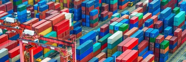
In today's globalized world, efficient supply chain management is crucial for businesses to thrive. However, disruptions such as port congestion can significantly impact delivery schedules, leading to frustrated customers and compromised production c...
# blog

Global port congestion in Q1 2023 has improved significantly from its peak in Q4 2021, but it is still far from normal. The main factors that have contributed to the improvement are the easing of COVID-19 restrictions, the return of some ships to ser...
# blog